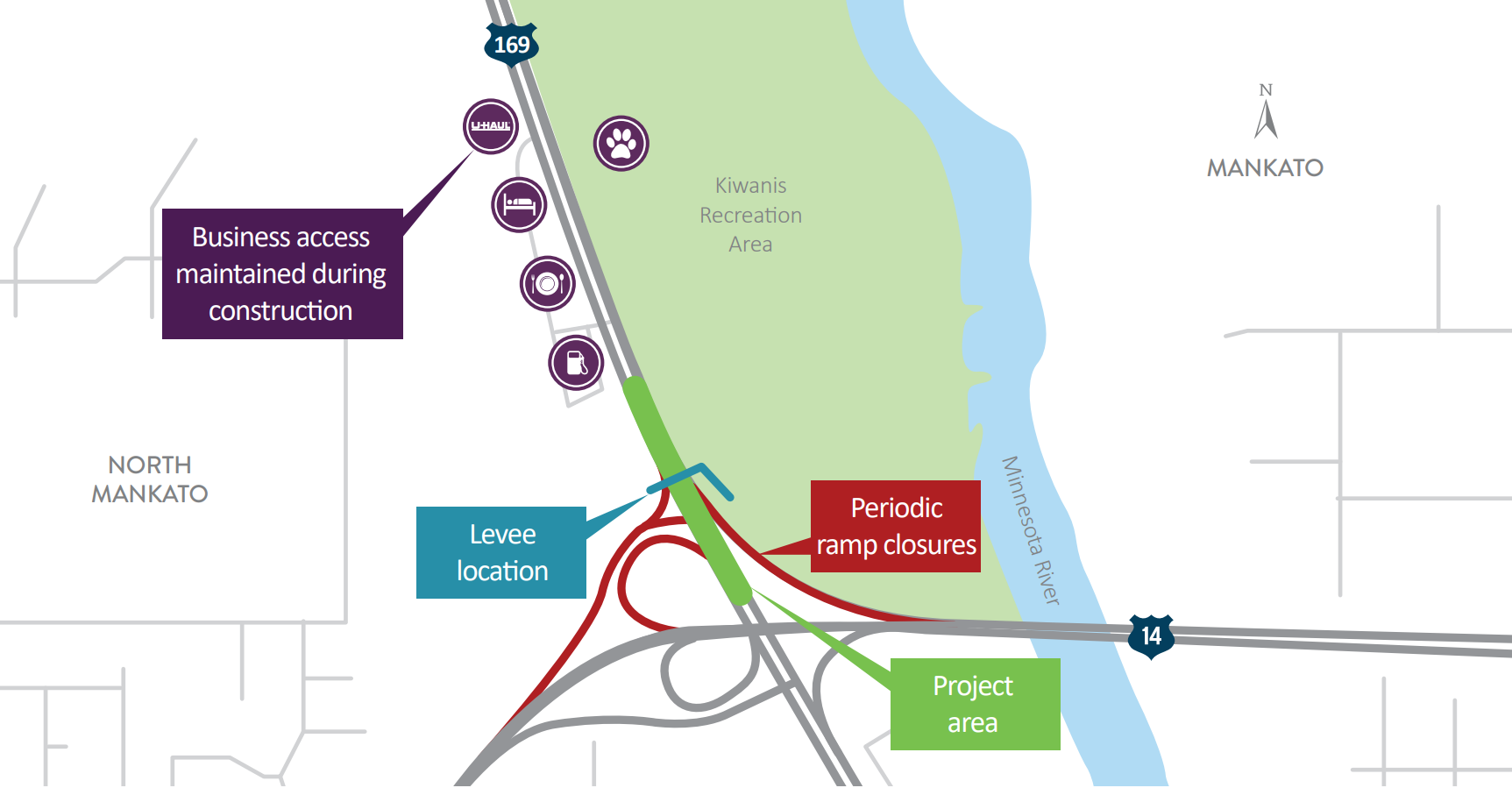
Traffic impacts
- Project complete - all traffic restrictions removed November 16, 2018.
Mankato/North Mankato Levee

Approximately 0.8 miles of Hwy 169 just north of the Hwy 14 junction had the grade raised to meet the 100-year base flood elevation to aid in flood protection of portions of Mankato and lower North Mankato.
The cities of Mankato and North Mankato were informed in late 2016 that FEMA was updating federal Flood Insurance Rate Maps (FIRM) and through an accreditation process, it was discovered that a small portion of the levee located north of the interchange of Highway 14 and Highway 169 might not protect portions of Mankato and lower North Mankato from the 100-year base flood. New FIRM maps are scheduled to be published in the fall of 2019 and without a levee improvement, property owners in areas identified as low to moderate risk for flooding may be required to purchase flood insurance that is estimated to cost approximately $500 per year for a residential property.
To bring the Mankato Levee up to current FEMA standards, Mankato, North Mankato, and the Minnesota Department of Transportation partnered to raise the grade of Highway 169 to meet the 100-year base flood elevation eliminating identified areas of Mankato and lower North Mankato from being designated as flood prone.