Phase 1
Phase 2
Phase 3
Phase 4
Project Phases
Mn/Model is a set of GIS-based tools that help MnDOT avoid impacts on archaeological sites throughout Minnesota. The final products include GIS-based statistical models that map the potential for pre-1837 surface archaeological sites in Minnesota. These models are used by MnDOT for site avoidance and survey design. Models are developed in stages, with improvements achieved by better data and refined modeling procedures.
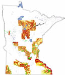
Phase 1 models (1996) were developed for only 27 counties. They predict sites 22%-54% better than by random chance alone. |
 |
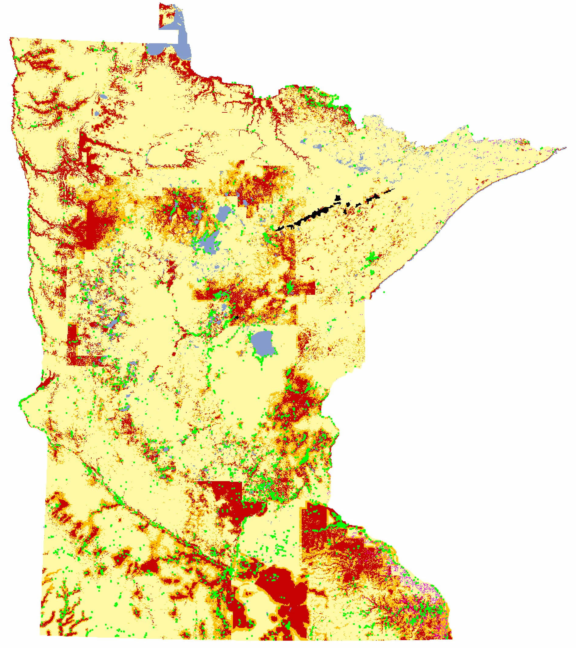
Phase 2 models (1997) were developed for the entire state. They predict sites 28%-89% better than by random chance alone. |
 |
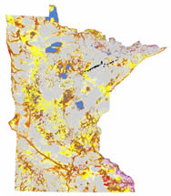
Phase 3 incorporated information about the likelihood of surveys into the predictive models. The Phase 3 Survey Implementation Model (1998) predicts sites 44%-90% better than by random chance alone. It also indicates areas where the potential for sites is unknown because of inadequate survey information. |
 |
Phase 4 is in progress. Environmental and archaeological data have been updated, new environmental data have become available, new statistical methods have been developed, and models of prehistoric/historic surface hydrography have been created.
|
 |

Acknowledgements
Mn/Model was financed by the Minnesota Department of Transportation using funds set aside by the Federal Highway Administration's Intermodal Surface Transportation Efficiency Act.
Copyright Notice
The Mn/Model process and the predictive models it produced are copyrighted by the Minnesota Department of Transportation (MnDOT), 2000. They may not be used without MnDOT's Consent.

