Complete Streets in Minnesota communities
Hwy 43/Mankato Ave in Winona

Background
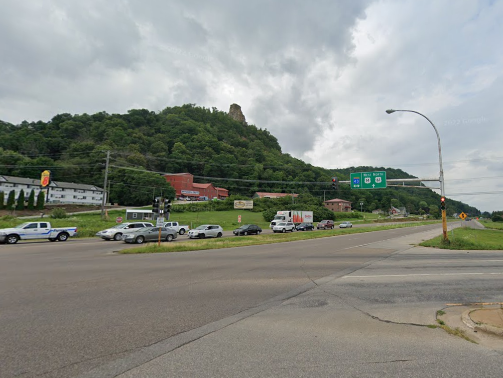
The purpose of the Hwy 43/Mankato Ave project in Winona was to improve safety and decrease congestion. There have been 120 crashes at the Hwy 61 and Hwy 43 intersection over the past 10 years, which is the second-highest crash rate for any stretch in southeast Minnesota. Minimizing traffic congestion and scaling up walkability to accommodate Winona’s local businesses, pedestrians, and bicyclists was another goal of the project.
Complete Streets elements
Multi-use trails
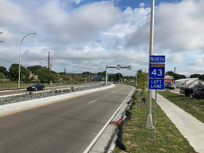
Multi-use trails were installed along the corridor on the west side to connect cyclists with trails and landmarks outside of the city.
A sidewalk
A sidewalk was constructed on the east side to provide a dedicated facility for pedestrians and minimize conflicts on the multi-use trail and road.
Rectangular Rapid Flashing Beacons
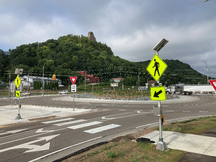
Rectangular Rapid Flashing Beacons (RRFBs) flash when pedestrians are crossing at an uncontrolled intersection or crosswalk. Including RFB’s contributes to safety by increasing driver awareness of pedestrians.
Medians
Medians can shorten the distance a pedestrian needs to walk, provide a place to stop safely, and help manage vehicle speeds at crossings. In this project, pedestrian interests were also accommodated by building medians.
Plantings
Plantings along the roadside and in medians help calm traffic and contribute to slower speeds through the corridor.
Before and after
Before

After

Complete Streets themes
Collaboration
Open communication facilitates both project development and construction. Weekly meetings during construction allowed the public to give regular feedback to the project team.
Active Transportation
Walking or biking through downtown became easier with additional pedestrian friendly trails, ADA compliant sidewalks, RRFBs, and pedestrian refuges in the medians. Upgraded lighting, trash receptacles, and plantings make the corridor more appealing to move through.
Safety
Plantings, pedestrian infrastructure, and roundabouts help slow traffic in the area. Minimizing the number of lanes in the corridor reduces the number of collision opportunities while retaining the option for lane expansion if traffic levels increase in the future.
Community
Working sessions with the city council, meetings with the Chamber of Commerce, pop-up feedback sessions, a walk audit, and a bike audit helped community members drive project outcomes.
Additional example
This project will be extended in 2028. Current plans include mill and overlay, adding sidewalks, reconstructing pedestrian and bike facilities, and converting three intersections are being considered for mini roundabouts.
