District Maps
To view PDFs, Adobe Acrobat Reader 4.0 or higher is required-- get a free copy of Acrobat Reader X.
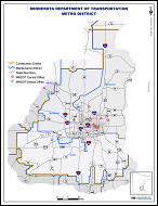
 Construction & Maintenance District Maps
Showing MnDOT construction and maintenance district boundaries and district offices
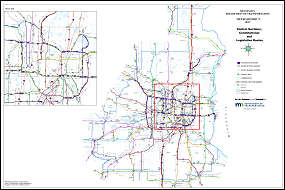
 Control Sections, Constitutional & Legislative Routes
Showing MnDOT state highway control sections, constitutional & legislative highway routes
