This online open house was held from June to August 2021. Information on this webpage was up-to-date as of August 2021. Please visit the project webpage for current information on the project.
Welcome to the June Hwy 252/I-94 Environmental Review virtual open house
The Hwy 252 and I-94 Environmental Review project team hosted an online virtual open house to share information and communicate with local community members, interested stakeholders along with Twin Cities Metro area citizens about the current Environmental Impact Statement being conducted. Community conversations were held with the communities of North Minneapolis (June 15, 2021), Brooklyn Center (June 17, 2021), and Brooklyn Park (June 22, 2021).
This virtual open house answers three questions
Scroll down to explore the site, or click on the questions below to learn more.
1. What is this project's purpose and need?
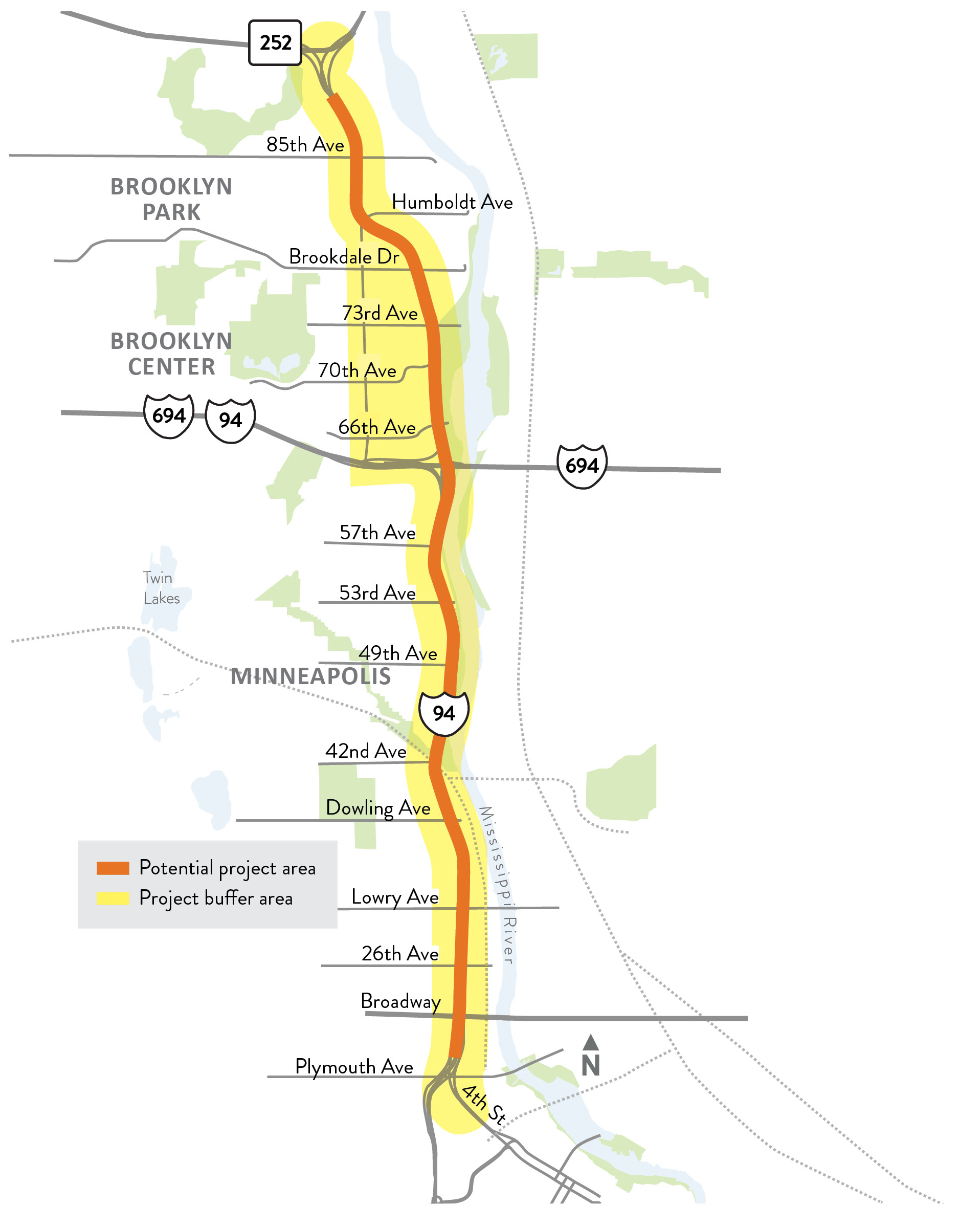
Proposed project limits (termini) for the Hwy 252/I-94 project is Hwy 252 and Hwy 610 in Brooklyn Park to the north and I-94 and 4th St. N/3rd St. N in Minneapolis to the south. The I-94 Lowry Hill Tunnel is located approximately 1.5 miles south of the 4th St. N/3rd St. N entrance and exit ramps in downtown Minneapolis.
Purpose
The purpose of the Hwy 252/I-94 project is to improve the safe and reliable movement of people and goods across multiple transportation modes on and across Hwy 252 and I-94 between Hwy 610 in Brooklyn Park and 4th St. N in Minneapolis.
Need
The cities of Brooklyn Center, Brooklyn Park, and Minneapolis; Hennepin County; MnDOT; and FHWA have identified several factors justifying the need for the Hwy 252/I-94 project. Transportation needs for the Hwy 252/I-94 corridor include vehicle safety, vehicle mobility and walkability/bikeability.
Objectives

- Achieve equitable social, environmental and economic outcomes.
- Reduce injury and fatality crashes along Hwy 252 and I-94.
- Promote public health by improving walkability/bikeability alongside and across Hwy 252 and I-94, and by supporting reliable transit service through operational improvements.
- Minimize the need to acquire additional property.
- Ensure solutions are consistent with local planning and compatible with the existing roadway network.
Promoting public health, including the support of reliable transit service, is a project objective.
Evaluation Criteria

Evaluation criteria are the measurements and information used to evaluate a range of alternatives that could meet the project’s Purpose and Need.
The criteria are also used to identify and study potential social, economic and environmental impacts. Evaluation criteria can also be used to determine how well an alternative addresses the project’s objectives. If you want to learn more about evaluation criteria, visit the project webpage.
2. Why focus on Hwy 252/I-94?
Why is this project focused on improving Hwy 252 and I-94?
Improvements are needed for people driving, walking, biking and using transit on Hwy 252 and I-94.

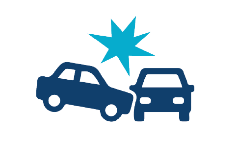
Safety for people driving in vehicles
- The full length of Hwy 252 and I-94 within the project area have a demonstrated crash problem.
- Hwy 252 experienced a total of 1,512 crashes in 2016-2019 with an average of 378 crashes each year.
- The average annual crash cost at intersections on Hwy 252 was between $500K and $1.7M totaling $6 million in 2016-2019.
- The average annual crash cost on segments along Hwy 252 was between $7M and $8M in 2016-2019.
- The total average annual crash cost on Hwy 252 was between $13M and $14M in 2016-2019.
- I-94 experienced a total of 914 crashes in 2016-2019 with an average of 229 crashes per year
- The average annual crash cost on I-94 was between $7M and $8M totaling $30M in 2016-2019.
- Both Hwy 252 and I-94 exceed the state's critical crash rate.

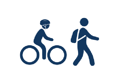
Improvements for people walking and biking
- Safety and mobility for walking, rolling and biking in the corridor is a top priority. The existing and planned pedestrian and bicycle network within the corridor is fairly extensive.
- Crossing Hwy 252 can be difficult due to the number of lanes, crossing distances and busy intersections.
- I-94 has inconsistent crossing distances and poor-quality crossings with narrow sidewalks and no Americans with Disability Act (ADA) accommodations.
- There were eleven reported pedestrian/bicycle crashes along I-94 between 2016-2019. No fatal crashes were reported during that time period.
- There were five reported pedestrian/bicycle crashes along Hwy 252 between 2016-2019. One fatal crash was reported during that time period.

Mobility for people driving in vehicles
- Hwy 252/I-94 in the project area has a mobility problem with multiple hours of congestion, reduced vehicle speeds, increased delays and unreliable travel times.
- Intersections along Hwy 252 operate poorly during peak hours.
- Segments of I-94 between I-694 and the Lowry Hill Tunnel are congested during peak hours.
- Forecasts predict a 12% increase in vehicles on Hwy 252 and a 4% increase on I-94.

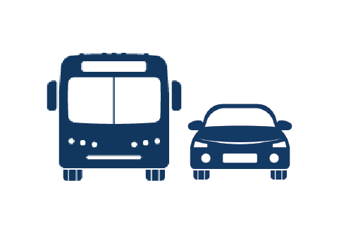
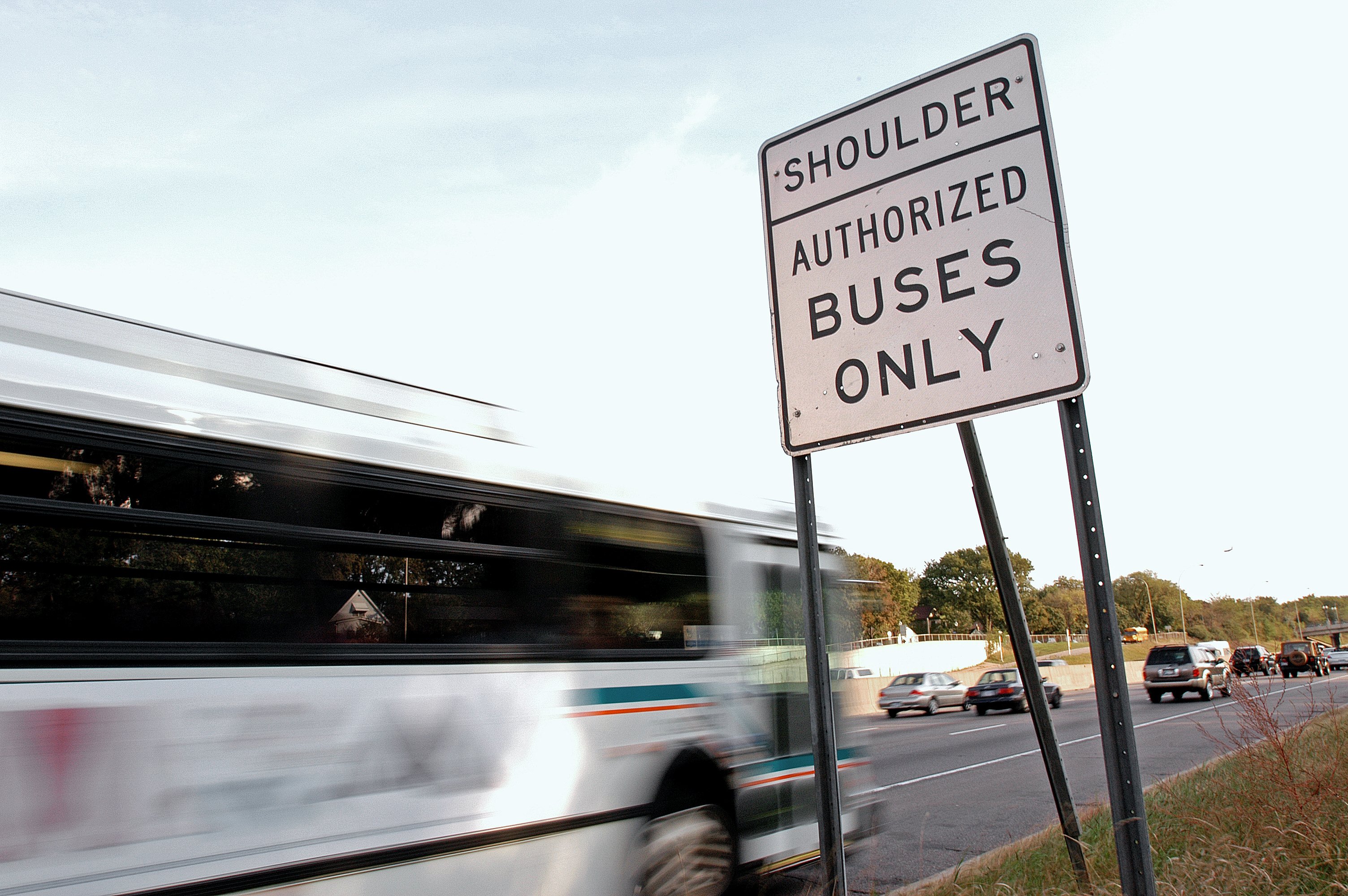
Improvements for people using transit
- Without transit improvements, ridership along Hwy 252 is expected to increase by 700 riders daily by 2040.
- Transit ridership on express buses on I-94 is also expected to reach 16,300 by 2040.
- Ten percent of morning and twenty percent of afternoon transit riders along the corridor experience off-schedule trips due to congestion.
Connections
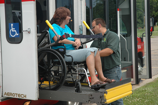
Highway crossings influence transit riders as many must cross the highway to reach their bus stops and park & ride lots.

Hwy 252 and I-94 are key roadways in the Twin Cities region
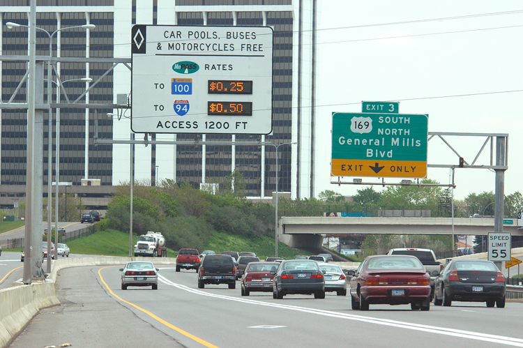
Hwy 252 and I-94 generally carry commuter-oriented traffic from the north and northwest Twin Cities suburbs to employment centers in Minneapolis and surrounding communities. They also provide connections to other corridors such as Hwy 100, I-394 and I-35W, as well as destinations beyond the project area on I-94.

Growth in Brooklyn Park, Brooklyn Center and the northern suburbs will increase the number of people wanting to use Hwy 252/I-94.
The Metropolitan Council recently updated their growth projections for the Twin Cities metropolitan area. These identify when, where and how much population, household and job growth is expected in the region.
- Twin Cities population is expected to increase 16 percent by 2040. There are a few major growth areas, including the south, north and northwest Twin Cities metro area.
- As growth occurs in the north and northwest metro, the amount of people wanting to use the major north-south roadways is anticipated to increase.
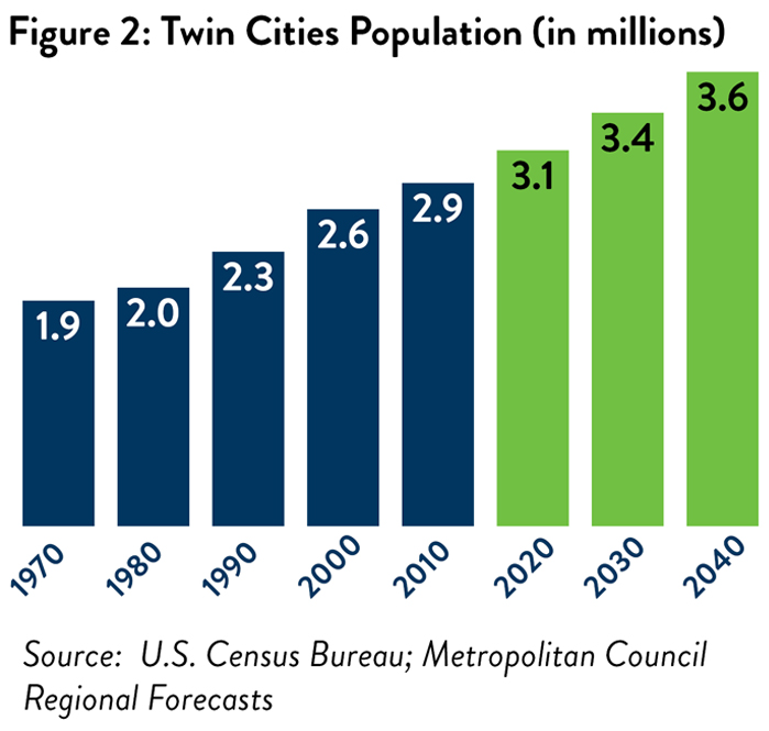
Twin Cities population (in millions)
Source: U.S.
Census Bureau; Metropolitan Council Regional Forecasts
3. Which project elements should be considered?
Roadway and access elements
Walking, biking and transit
What’s Next?
The project team will evaluate what changes on Hwy 252/I-94 mean for the communities of Brooklyn Park, Brooklyn Center and Minneapolis.
- The next step in the EIS process will evaluate transportation alternatives that use some of the concepts shown in the videos above as well as any ideas suggested by the community that the team may not have considered. The project team will evaluate these transportation alternatives for potential benefits and impacts to the communities of Brooklyn Park, Brooklyn Center and Minneapolis.
- This evaluation will consider vehicle safety and vehicle mobility along with walking, biking and rolling. For more information about the evaluation process, visit the project webpage.
Contacts
Kent Barnard
651-253-2803