
Explore Minnesota with the State Highway Map
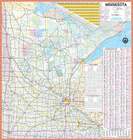
The Official Minnesota State Highway Map is produced every two years by the Minnesota Department of Transportation, and Explore Minnesota Tourism.
Minnesota State Highway map
Inset maps
Maps of Minnesota cities with more than 10,000 population:
- Group 1 (PDF) - Duluth, St. Cloud, Mankato, Brainerd, Bemidji, Fairbault, Fairmont, Northfield, Hibbing, Owatonna, Albert Lea, Fergus Falls, Marshall, Red Wing, Willmar, Cloquet, Hutchinson, Buffalo, New Ulm
- Group 2 (PDF) - Downtown Minneapolis, Downtown St. Paul, Winona, Austin, Moorhead, Worthington, Rochester, Alexandria