MnCORS GNSS Network
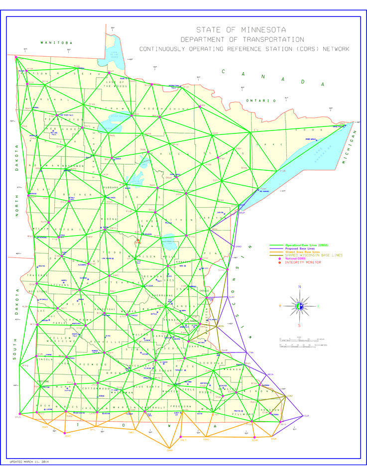
The Continuously Operating Reference Station Network is a cooperative effort between MnDOT, other state agencies and institutions, counties, cities and private enterprises with the goal of providing Global Navigation Satellite System (GNSS) corrections state-wide.
Using signals from all available GNSS satellites, and receivers at over 140 known positions, MnCORS is able to continuously provide survey grade positioning corrections. Questions? Contact the MnCORS administrators at CORSVRS.DOT@state.mn.us
- MnCORS sensor map
- MnCORS registration and user management website
- Registration help for new users (PDF 0.5 MB)
- MnCORS resources and contact information