Upcoming project
In 2026, MnDOT will improve the pedestrian crossing at the intersection of Highway 59 and Adams Avenue in Mahnomen.
Project elements
- Replace shared-use path
- Construct pedestrian refuge
Mahnomen

In 2026, MnDOT will improve the pedestrian crossing at the intersection of Highway 59 and Adams Avenue in Mahnomen.
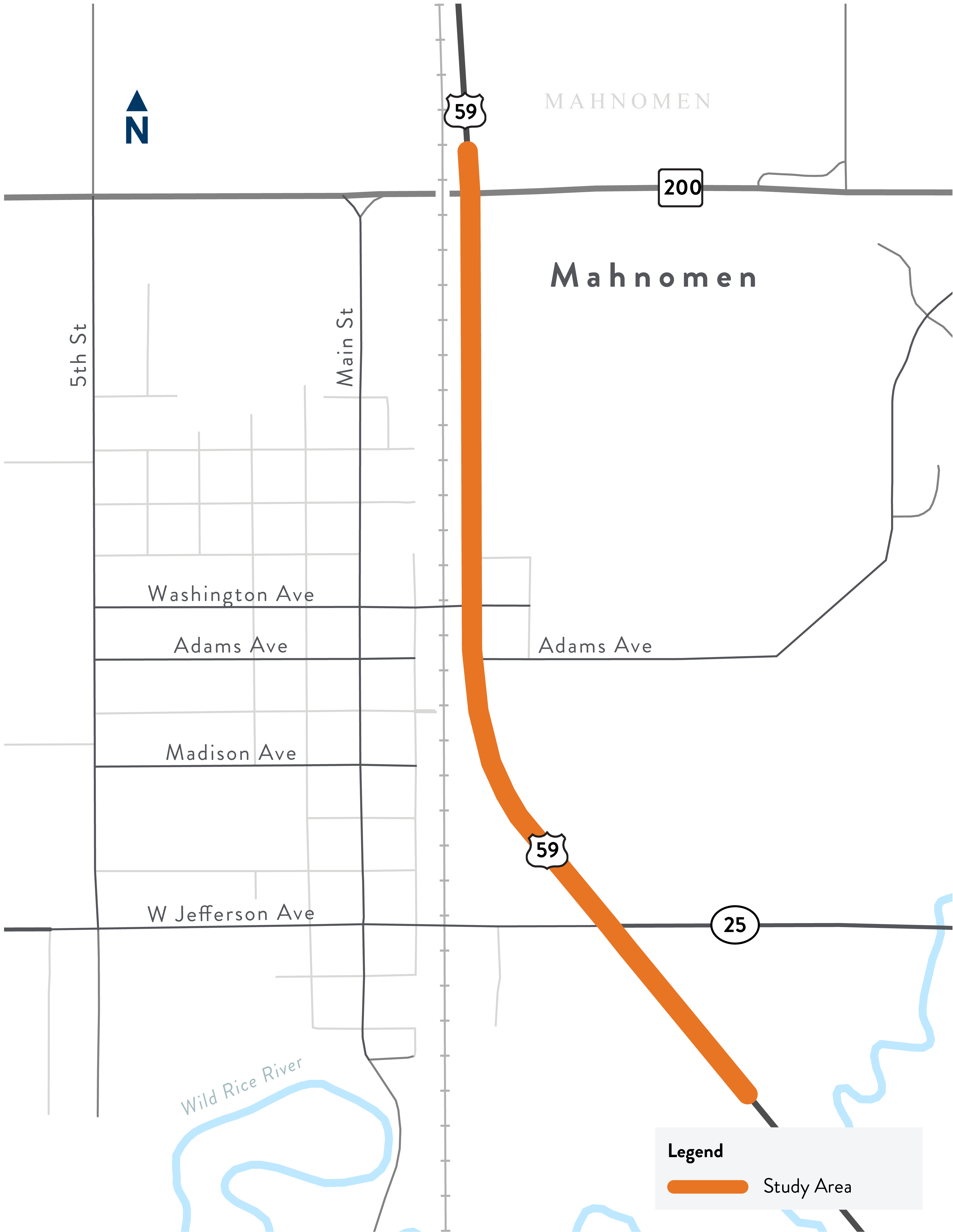
The Minnesota Department of Transportation (MnDOT) studied safety improvements for people walking along and across Highway 59 in the City of Mahnomen. The study aimed to look at the safety and ease of movement for people walking and biking along and across Highway 59. The study area began at the southern edge of the City of Mahnomen to the northern limits on Highway 59. The study goal was to identify safety improvements we can make in the short, medium, and long term along and across the Highway 59 corridor. Out of that study came the 2026 pedestrian crossing improvements at Adams Avenue. Additional improvements within the study limits may be implemented as funding becomes available.
MnDOT partnered with the City of Mahnomen, Mahnomen County, and the White Earth Nation to review past studies and develop an actionable plan for short, medium, and long term safety improvements that can be implemented and funded in Mahnomen. The committee also ensured that community values are reflected in project decisions and foster local conversations.