About this project
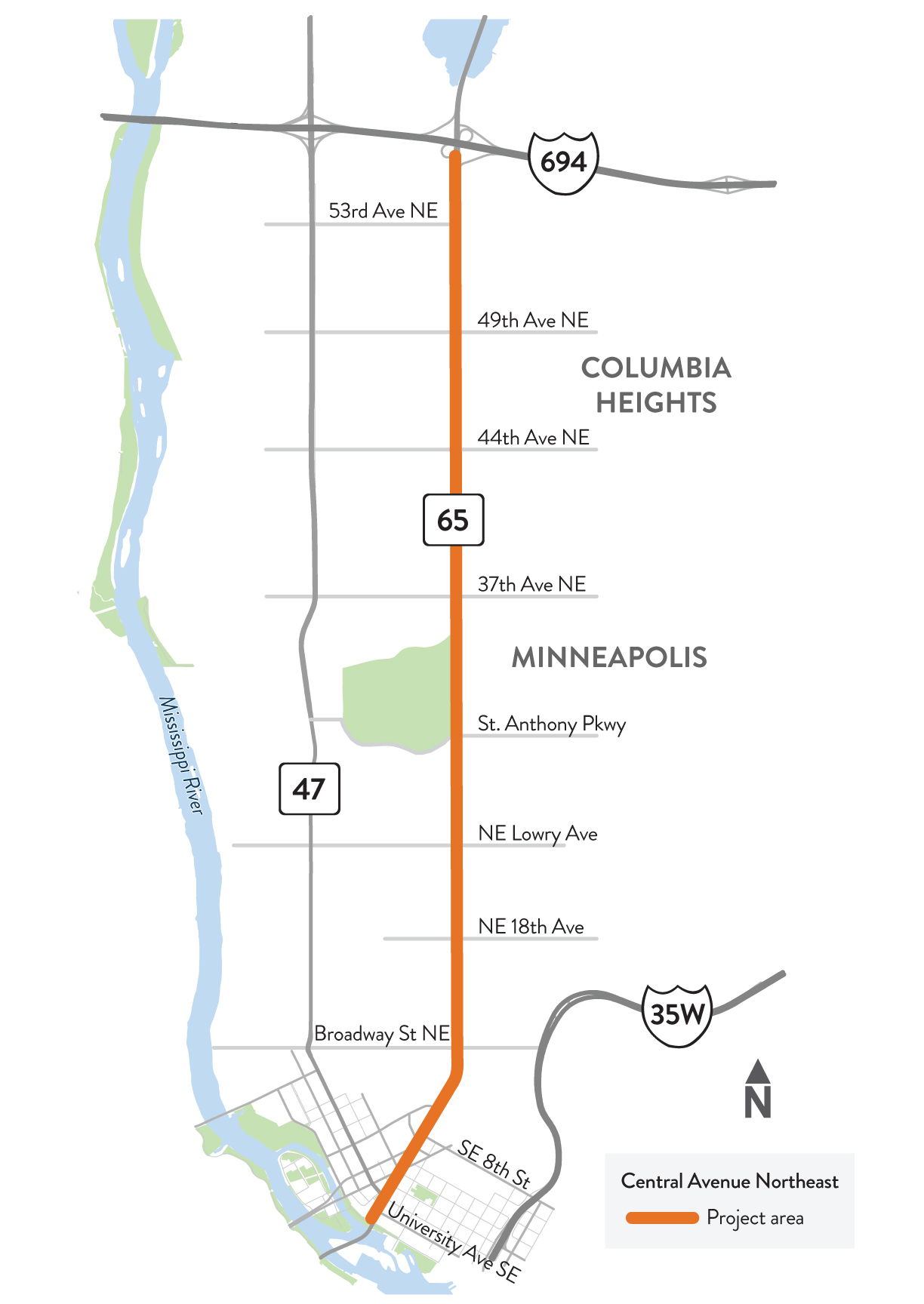
Central Ave. N.E. project location map
We are collaborating with local agencies and the public to create a new design for Central Ave. (Hwy 65) between University Ave. Southeast and I-694. As a part of this project, we will work closely with Metro Transit on the integration of the METRO F Line, a planned bus rapid transit line that will provide improved transit service on Route 10.
This process builds on analysis from our prior Hwy 47/Hwy 65 study and Metro Transit’s F Line Corridor Plan. The Hwy 47/Hwy 65 study explored multimodal transportation needs and priorities along the roads. The Metro Transit study identified the route and station locations for the future F Line.
Summary of work
- Reconstruction of Central Ave. N.E. that will incorporate Metro Transit's proposed F Line bus rapid transit route
- Improve safety for people walking, rolling, biking, riding transit, and driving
- Improve accessibility for people walking, rolling, biking, riding transit, and driving
- Advance local, regional, and state goals for complete streets, modal priority, transportation equity, and climate action
- Upgrade transit facilities to provide faster, more reliable, and more attractive transit service that is easier to use
- Provide other improvements to the roadway and public space, based on their unique area