Study complete
About this study
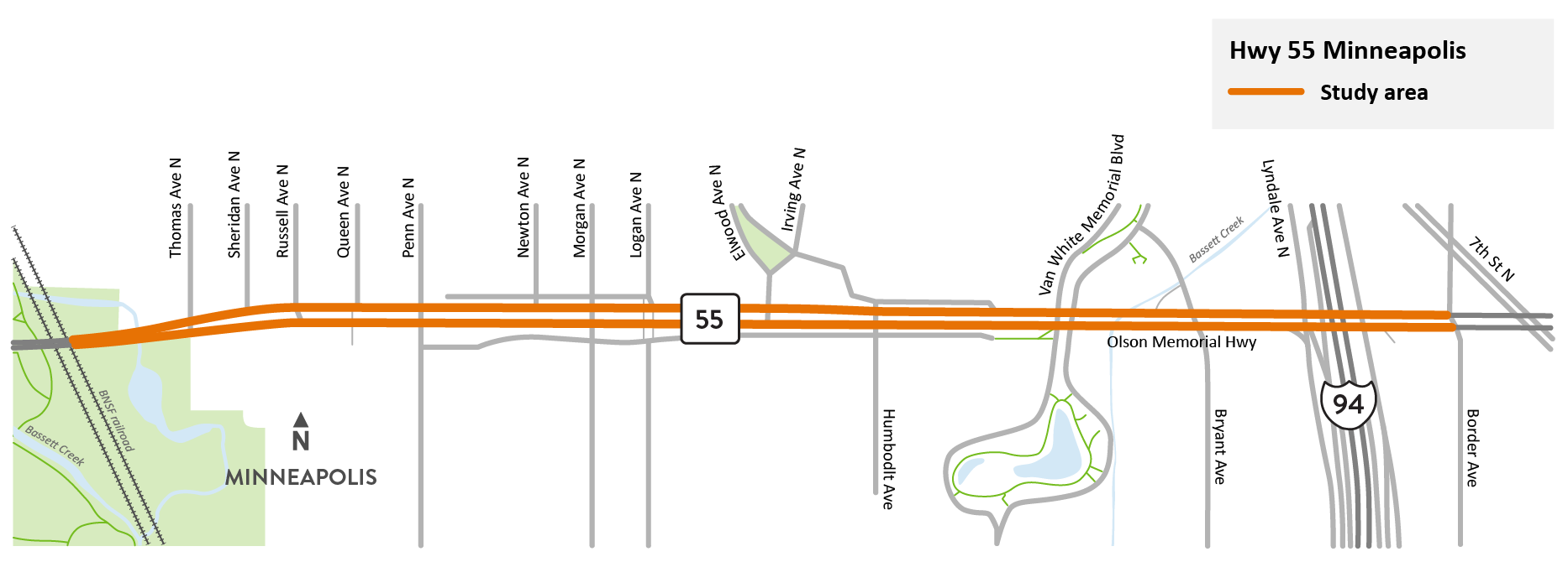
Hwy 55/Olson Memorial Hwy study area map
We have completed a planning study for a 1.6-mile segment of Hwy 55/Olson Memorial Hwy in North Minneapolis from Border Ave. to the BNSF railroad bridge west of Thomas Ave.
We conducted this study to better understand the needs of the community and explore long-term options that benefit the surrounding community and people who use the highway. The study sought to incorporate findings from past transportation plans that engaged community members, as a recognition of input given over the proceeding decade. The study used technical analysis and input from the community on their transportation needs, lived experiences and desires for the future of Olson Memorial Hwy.
We carried out extensive public engagement that yielded 2,615 survey responses; more than 900 comments from people at in-person events; and dozens of conversations and communications with community members and leaders. We made extra efforts to connect with people from all backgrounds, languages other than English and holding a variety of perspectives.
This public engagement, along with technical analysis, identified the main transportation needs as: safety for all travelers; better facilities for people walking and biking; and improved mobility or better travel times for cars, trucks and transit vehicles.
We developed many different concepts to address the needs. We then used 33 different kinds of evaluation criteria to understand which ones could meet those needs. Through that process, a group of five concepts for Olson Memorial Hwy were recommended to be evaluated in the next step in project development, along with different types of intersections (roundabouts, J-turns, and grade-separated) and changes to frontage roads, driveways and side street connections.
Summary of work
- Gathered community input on their transportation needs and desires for the future of Olson Memorial Hwy
- Summarized the issues and problems within the study area through a Purpose and Need Statement
- Explored short and long-term improvements
- Evaluated ideas through technical analysis and community input
- Identified design concepts that meet needs
- Described the next steps to advance future construction